 WeeklyTrail
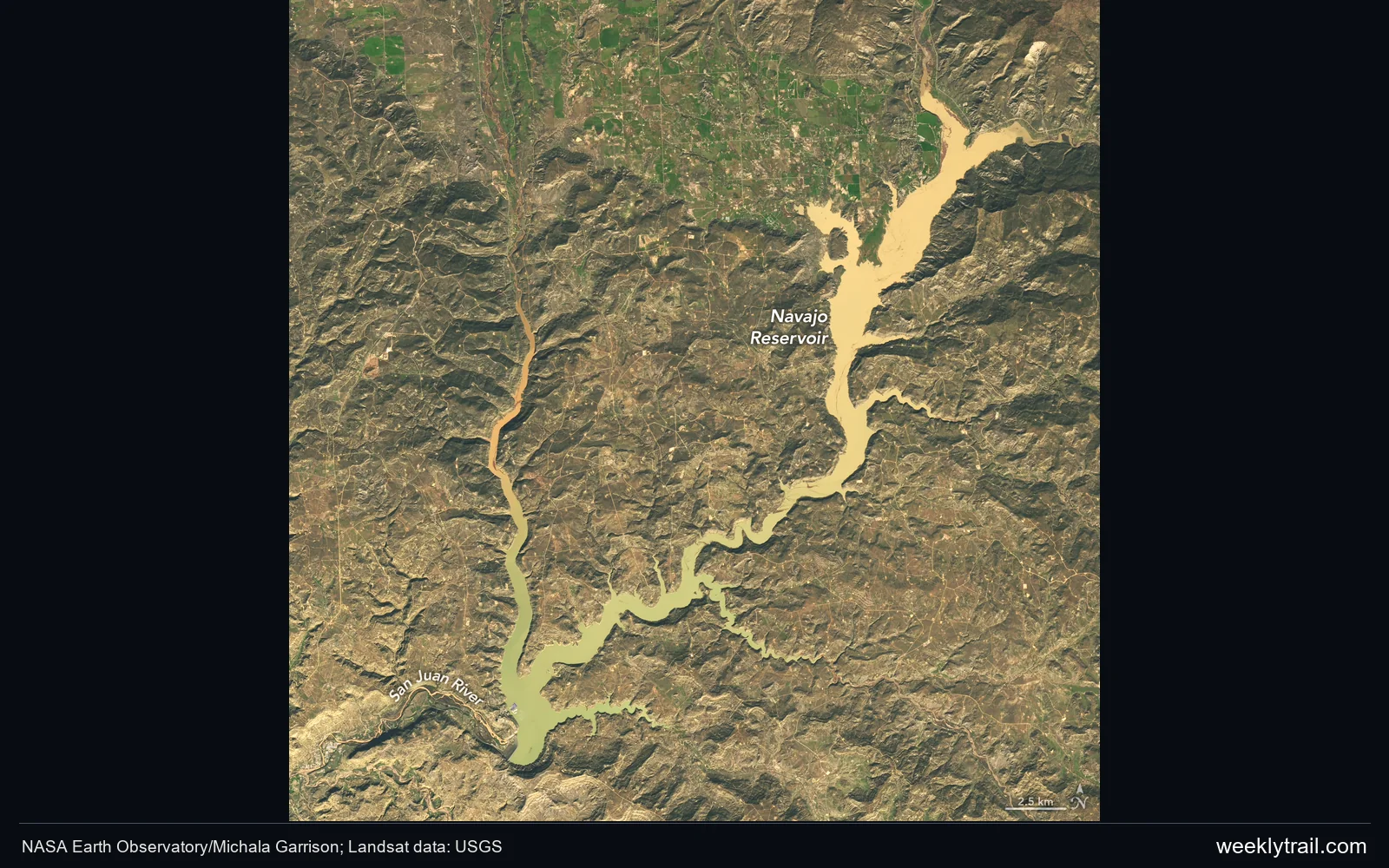
NASA Earth Observatory has compared satellite images of Navajo Reservoir in northern New Mexico and southern Colorado. Landsat 9 views from September 20 and November 7 show a substantial expansion of the water surface. Using U.S. Army Corps of Engineers data, NASA reports that the level rose by nearly 18 metres during that interval.
Heavy rain in late October and early November sent rivers rapidly higher and caused damaging floods in some communities. By November 7, the reservoir had reached its highest level since August 2019. The update also records reduced dam releases in September.
The storms improved short-term drought conditions, while longer-term drought persisted in some areas. The reservoir’s recovery therefore sits alongside a different local hazard: fast-moving runoff and flooding. The satellite comparison documents that changing landscape without suggesting that every regional water problem has ended.


Start the conversation. A good question is half the story.