


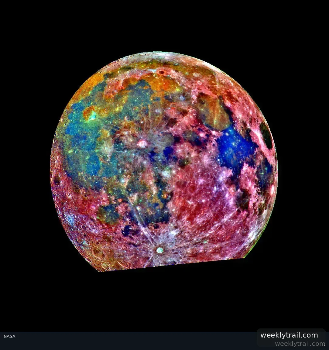
NASA reported on Aug 12, 2026, that Lunar Station Corp. is using agency data in computer models to help commercial space companies plan lunar missions. The Cambridge, Massachusetts-based company uses NASA's open-source Ames Stereo Pipeline to process satellite and rover images into 3D terrain models showing features such as rock placement and elevation.
Lunar Station's MoonHacker program combines data from NASA's Planetary Data System to help identify indicators for shallow pits of lunar water. CEO Blair DeWitt said the company helps clients understand environmental factors for any location on the Moon, including landing and roving routes and communications relay needs. NASA's Gerry Sanders, in-situ resource utilization system capability lead at Johnson Space Center, said the availability of lunar water resources at any given location is largely unknown. The agency noted that its 2009 Lunar Crater Observation and Sensing Satellite mission examined a plume at the Moon's South Pole and revealed water ice.
According to NASA, the company's Radiation Simulator can subject a digital twin of a rover or satellite to radiation to determine protection needs.





No comments yet.