 WeeklyTrail
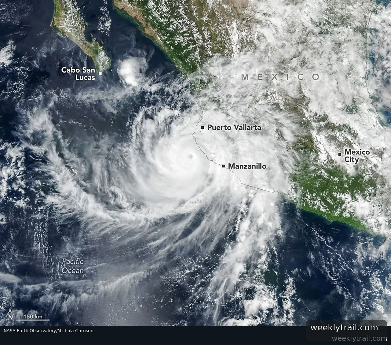
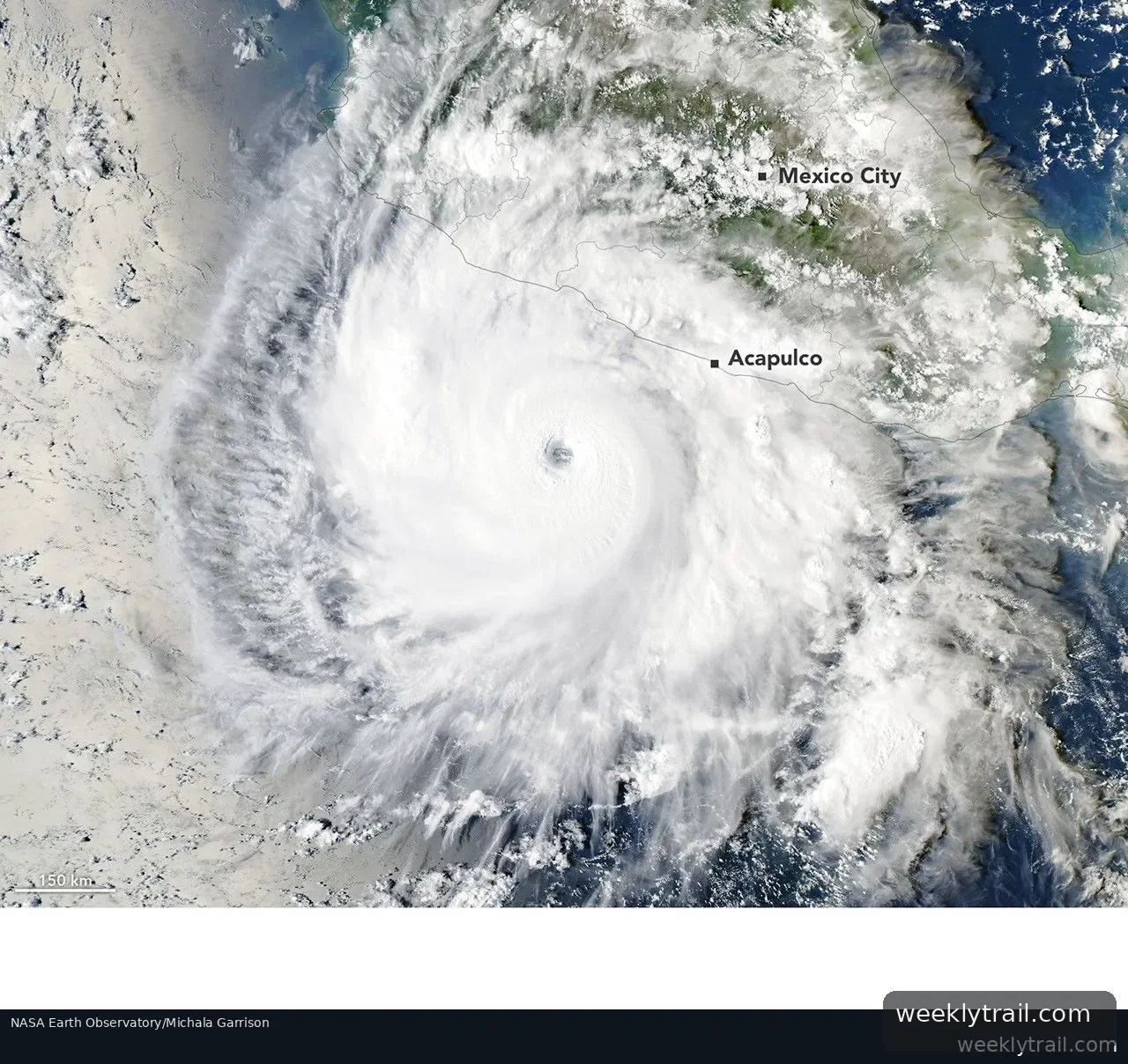
Hurricane Simon passed close to Mexico's Pacific coast as a category 4 storm on October 11, 2026, NASA's Earth Observatory reported. Sustained winds reached 250 kilometers (155 miles) per hour as the storm crept north-northwest. When the VIIRS instrument on the Suomi NPP satellite captured an image around 2:30 p.m. local time, the storm's eye was about 50 kilometers (30 miles) offshore between Manzanillo and Puerto Vallarta, and sustained winds had eased to about 210 kilometers (130 miles) per hour, according to the National Hurricane Center.
The hurricane center noted that the Sierra Madre mountains appeared to temper the storm's intensity and shrink its wind field. Even so, Simon brought heavy rain and flooding to coastal areas including the port of Manzanillo and raised the risk of mudslides in mountainous terrain, according to news reports. A nighttime image from the NOAA-21 satellite's VIIRS instrument showed atmospheric gravity waves radiating from the hurricane, visible as ripples in mesospheric airglow; faint moonlight that night helped the airglow stand out.
As of the morning of October 13, forecasts of Simon's intensity and path remained "very low confidence," the report said. The system might steer north into the Gulf of California before landfall, and large swells were expected to create dangerous nearshore conditions along parts of Mexico's southwestern and west-central coasts in the coming days. The images were processed by Michala Garrison, and the story was written by Lindsey Doermann.

Start the conversation. A good question is half the story.