 WeeklyTrail
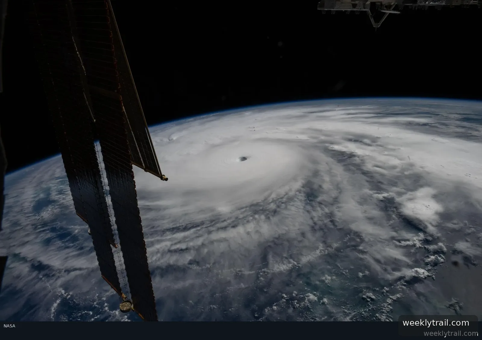
NASA and its European partners reported in a September 9, 2026, article that Sentinel-6B, launched the previous November, now flies 30 seconds behind its predecessor, Sentinel-6 Michael Freilich. Together they form the Copernicus Sentinel-6/Jason-CS mission, measuring sea level height as oceanographers expect a historic El Niño. Project scientist Josh Willis of NASA's Jet Propulsion Laboratory said this El Niño was a late bloomer, reaching strength similar to significant events in 1997 and 2015.
The satellites use radar altimeters to measure ocean height, wave size and marine wind speed, and carry a second instrument measuring atmospheric humidity, pressure and temperature. Warm water expands, so sea height offers insight into ocean heat content and how fast hurricanes may grow. Sentinel-6B began delivering low-latency data on July 15, 2026, though the data will take time to enter research models.
Deirdre Byrne of NOAA, who oversees the Satellite Ocean Heat Content Suite algorithm, said she plans to begin incorporating Sentinel-6 ocean height data into the current algorithm by the end of the year. Sentinel-6B was also slated to take over as the reference satellite for global sea level measurements later in 2026. The sea level record traces back to TOPEX/Poseidon in 1992.


Start the conversation. A good question is half the story.