 WeeklyTrail
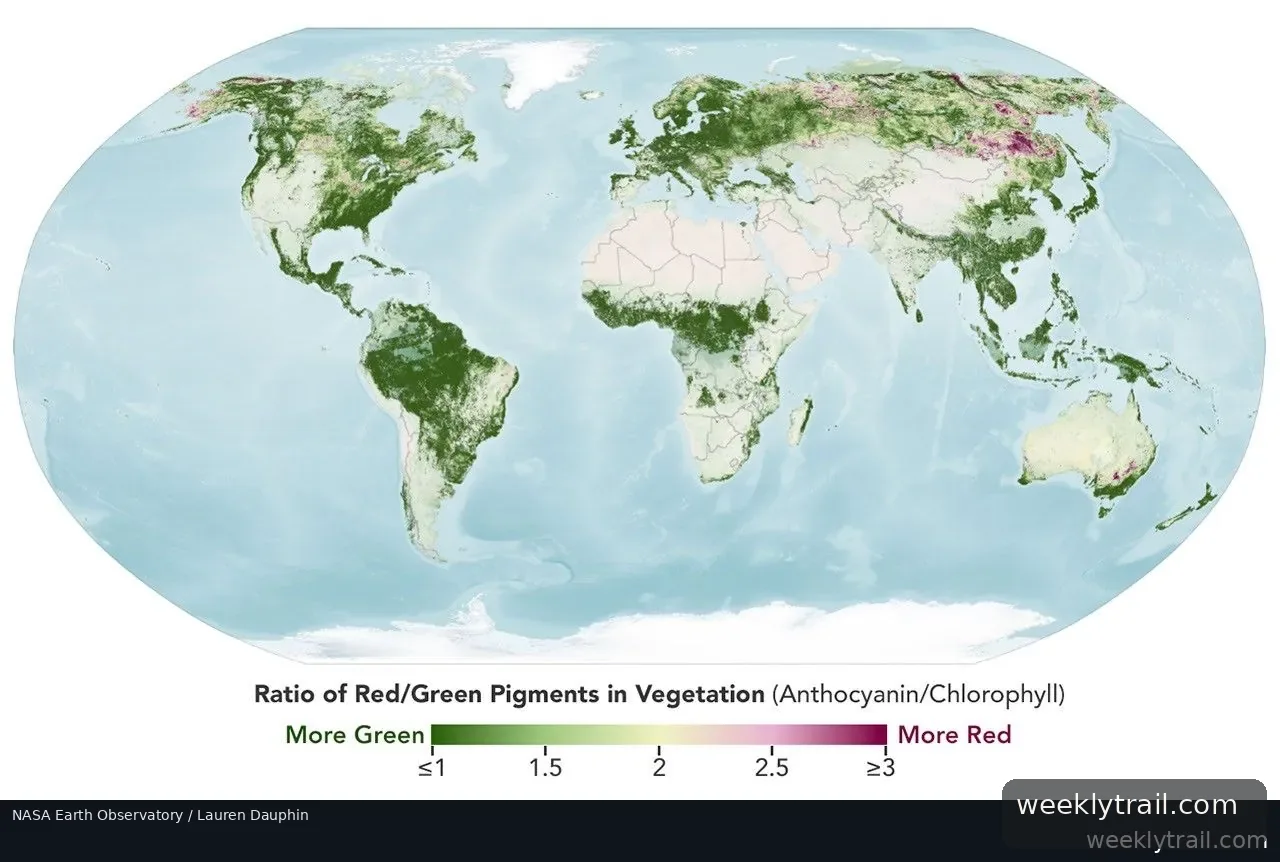
NASA's PACE satellite is giving leaf-peepers a new tool for following fall color. The hyperspectral Ocean Color Instrument on the satellite observes the planet's oceans and vegetation daily at 286 spectral bands, including groups of wavelengths that let scientists track anthocyanins (reds), carotenoids (yellows and oranges), and chlorophylls (greens). By comparing red, orange, and yellow reflectance with green over time, researchers can see where leaves are changing and when color peaks.
Maps published by NASA Earth Observatory show vegetation "redness" for September 29 to October 4 and October 5 to 11, 2026. In the earlier week, high redness appeared in parts of northern and eastern Russia, northern Alaska, and northern Canada; the following week, color spread across much of the Midwest and Mid-Atlantic even as it began to fade in New England and upstate New York. A Landsat 9 image captured intensely red foliage around Ripton, Vermont, on October 3, 2026.
Karl Huemmrich, a vegetation scientist with the Goddard Earth Sciences Technology and Research II center, said the ability to collect time-series data of anthocyanins and carotenoids everywhere on Earth repeatedly is game-changing. The GLOBE program's North American Phenology Campaign is asking the public to submit foliage photos to help ground-truth the satellite observations.

Start the conversation. A good question is half the story.