 WeeklyTrail
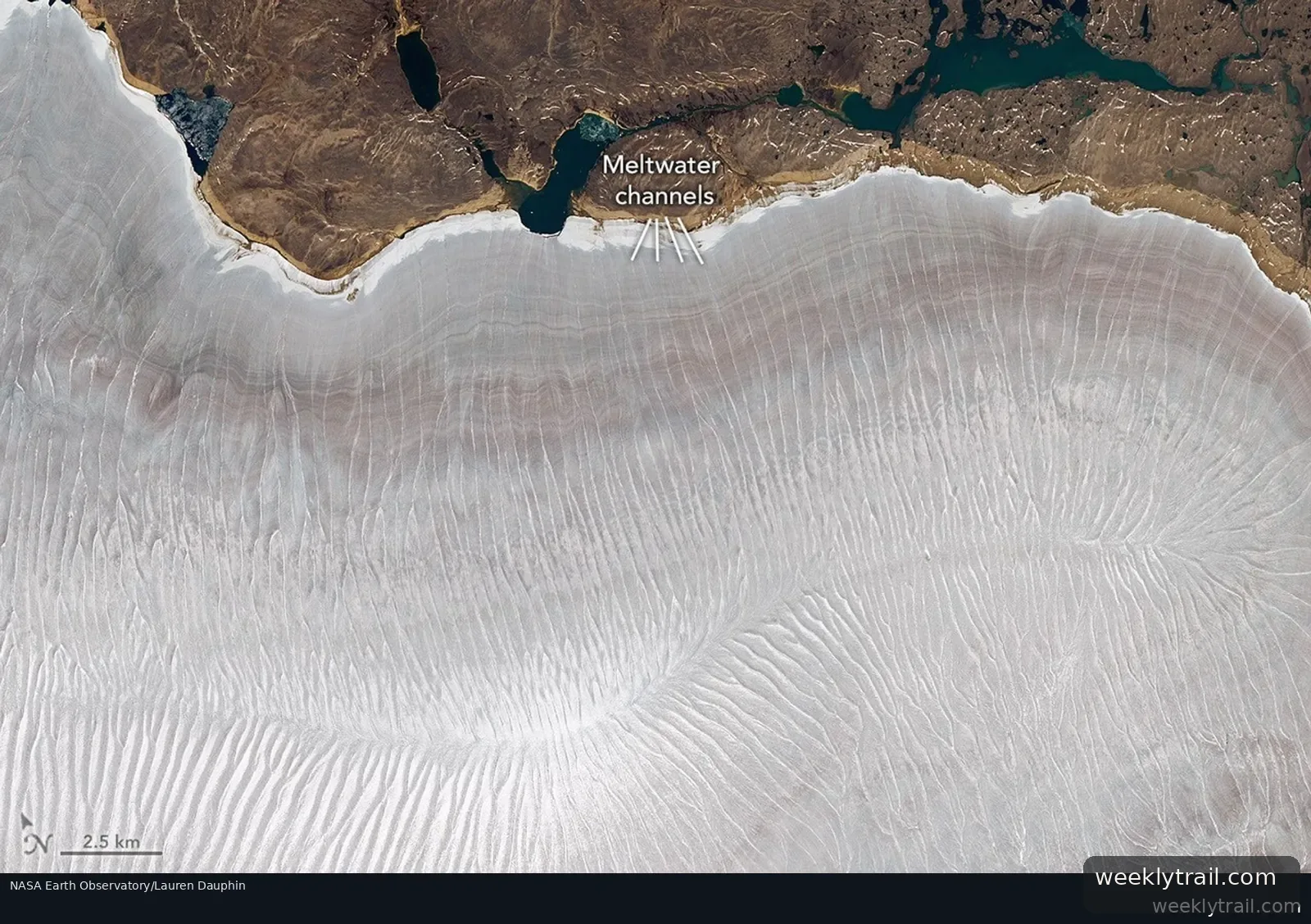
NASA Earth Observatory reported on August 3, 2026, that the Barnes Ice Cap on Canada's Baffin Island shed its snow cover quickly and early in summer 2026, exposing a network of meltwater ponds and channels across the roughly 5,700-square-kilometer ice cap.
Glaciologist Mauri Pelto of Nichols College, who monitors the ice cap with Landsat imagery and, when possible, field observations, said its snow cover was effectively gone by mid-July — "the earliest it has been this bare." Pelto noted the ice cap has been snow-free before, including in 2019, 2020 and 2024, but that this year it happened sooner.
The observatory said bare ice is darker than snow and absorbs more solar energy, accelerating melt, while runoff that might once have refrozen in remaining snow and firn instead drains away. It cited research indicating the ice cap thinned roughly 1 meter (3 feet) per year from 2000 to 2020 and retreated about 4 meters (13 feet) per year on average at its margin over the past 40 years, with rates varying widely. The Landsat 9 images were acquired on July 12, 2026.


No comments yet.